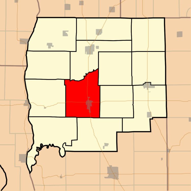
Carrollton Township is one of fourteen townships in Carroll County, Indiana. As of the 2020 census, its population was 651 (up from 598 at 2010) and it contained 240 housing units.
History
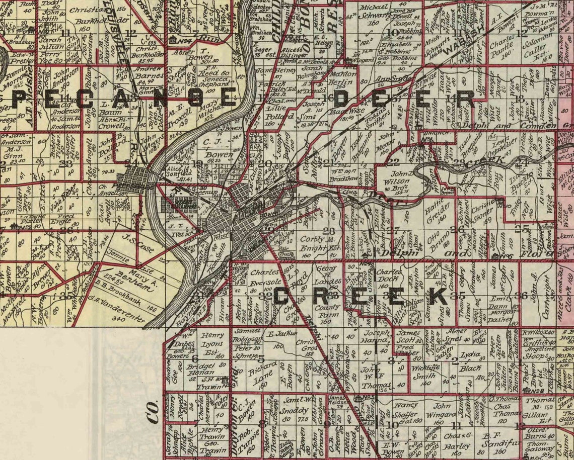
Carrollton Township was organized in 1835.
Geography
According to the 2010 census, the township has a total area of 29.59 square miles (76.6 km2), of which 29.58 square miles (76.6 km2) (or 99.97%) is land and 0.01 square miles (0.026 km2) (or 0.03%) is water.
Unincorporated towns
- Sharon
- Wheeling
Adjacent townships
- Washington Township (north)
- Deer Creek Township, Cass County (northeast)
- Ervin Township, Howard County (east)
- Burlington Township (south)
- Jackson Township (west)
- Monroe Township (west)
Major highways
- Indiana State Road 18
- Indiana State Road 29
- Indiana State Road 218
References
- "Carrollton Township, Carroll County, Indiana". Geographic Names Information System. United States Geological Survey, United States Department of the Interior. Retrieved September 24, 2009.
- United States Census Bureau cartographic boundary files
External links
- Indiana Township Association
- United Township Association of Indiana